Things to do in Murrieta: Oak Woodland, Creeks and Neighborhood Trails
A plain guide to Murrieta, California: the Santa Rosa Plateau reserve, city trails and parks, and sights a short drive away.
8 Oct 2026
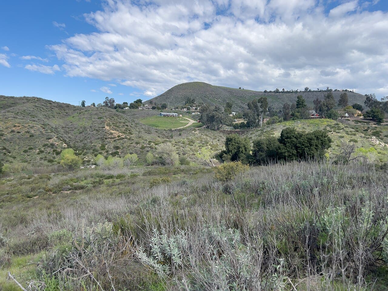
Murrieta is a mostly residential city in southwestern Riverside County, just north of Temecula. About 110,000 people lived here at the 2020 census. Murrieta Creek runs southeast through the valley, and Warm Springs Creek feeds into it.
The Luiseño people had a village here called Avaa7ax. The modern town grew up along a railroad, and a depot built in 1887 tied it to the Southern California rail network. Today it is a place of homes, schools and parks, with one remarkable nature reserve on its edge.
Santa Rosa Plateau Ecological Reserve
This is the best reason to visit. The Santa Rosa Plateau is an upland area between Murrieta and Temecula, at the southeast end of the Santa Ana Mountains. It is a nature reserve managed by several partners, including The Nature Conservancy and Riverside County Parks.
The reserve protects purple needlegrass prairie, Engelmann oak woodland, chaparral, coastal sage scrub and vernal pools, which are seasonal pools that fill in wet weather. It is the only place in the state with a protected, reproducing stand of Engelmann oaks. At least 185 bird species have been recorded, and 27 kinds of mammals live there, including mule deer, bobcats and mountain lions.
There is a trail system of about 40 miles and a visitor center. People also come for the history: 19th century buildings from Rancho Santa Rosa still stand, and you can see acorn grinding holes in boulders left by Native American people over thousands of years. Schoolchildren take part in education programs run with a local nature education foundation.
Parks and trails in the city
Murrieta's parks and recreation department looks after about 1,350 acres of parks, trails and natural areas. The park system ranges from tiny neighborhood parks to Los Alamos Hills Sports Park, its biggest at about 40 acres. There are more than 20 miles of multi-use trails for walking, running and biking.
The smallest park, Rosewood Neighborhood Park, is only 0.4 acres, so the range is wide. The Murrieta Creek Regional Trail is one of the trails the city features. The city's stated aim is to give residents and visitors a variety of outdoor options while protecting the area's heritage and natural beauty.
The city also has a community pool, a skate park, two dog parks, two disc golf courses and an equestrian park. Falcon's View Park has a view of Palomar Mountain. The city offers a trail map and an interactive park map on its website.
Town Square
Murrieta's Town Square is the civic center, with the Murrieta Public Library at 8 Town Square, city hall and a veterans memorial. It is a calm place for a short walk.
A short drive away
Murrieta is close to a lot of Temecula Valley sights:
Old Town Temecula has historic buildings. It took shape after a railroad line reached Temecula in 1882 and businesses moved next to the new depot. See the City of Temecula's history page.
The Temecula Valley Museum has a permanent collection on local history and changing exhibits, all self-guided.
Vail Lake, near Temecula, was formed in 1948 to hold creek water.
Lake Elsinore is the largest natural freshwater lake in Southern California, with about 3,000 acres of water and over 14 miles of shoreline. It has public beaches, a four-mile levee for walking and nature watching, and room for fishing and boating.
Temecula Valley Wine Country has more than 3,500 acres of producing vineyards. Check with each venue for visiting details.
For families
Take kids to the Santa Rosa Plateau visitor center to learn about the vernal pools.
Look for mule deer on a plateau walk.
Let them run at one of the city's neighborhood parks or a dog park.
Visit the Temecula Valley Museum.
Good to know
The Santa Rosa Plateau is a reserve. Stay on marked trails.
The city website has a park and trail map. Check it before you go.
Check each venue's own website for current access.
Find local businesses
Planning a visit, or live nearby and need a hand with something? Browse the local businesses listed in the Temecula Valley guide to find who serves Murrieta and the towns around it.
Useful links
Businesses in Murrieta in the Temecula Valley guide
About Murrieta: the town at a glance
Own a business in Murrieta? Claim or add your listing, free
By Thomas Hassett and Eric Andrews, Local Business America
Photo: Z3lvs, CC0, via Wikimedia Commons.
Sources: Wikipedia, "Murrieta, California" (https://en.wikipedia.org/wiki/Murrieta,_California); Wikipedia, "Santa Rosa Plateau Ecological Reserve" (https://en.wikipedia.org/wiki/Santa_Rosa_Plateau_Ecological_Reserve); City of Murrieta, "Parks & Trails" (https://mainstreet.murrietaca.gov/649/Parks-Trails); Wikipedia, "Temecula, California" (https://en.wikipedia.org/wiki/Temecula,_California); Wikipedia, "Lake Elsinore, California" (https://en.wikipedia.org/wiki/Lake_Elsinore,_California); City of Murrieta, "Murrieta Public Library" (https://www.murrietaca.gov/Facilities/Facility/Details/Murrieta-Public-Library-17); City of Temecula, "History of Temecula" (https://temeculaca.gov/150/History-of-Temecula); City of Temecula, "Temecula Valley Museum (TVM)" (https://temeculaca.gov/facilities/facility/details/Temecula-Valley-Museum-TVM-72); City of Lake Elsinore, "Lake Recreation" (https://www.lake-elsinore.org/187/Lake-Recreation). Wikipedia text is available under CC BY-SA.